

GIS Courses: QGIS and ArcGIS Pro
Geographic Information Systems are no longer a tool just for surveyors. They are used in the environment sector, agricultural production, spatial planning, utility networks and local government.
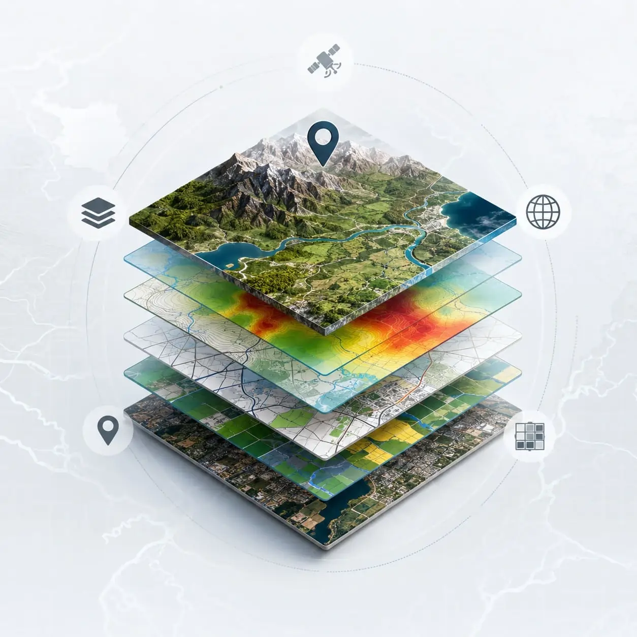
What the program covers
A complete introduction to the basic principles and applications of GIS, combining theory with hands-on lab practice on real geospatial data.
QGIS
The free and open-source GIS software, with no license cost. Ideal for getting started and for continuing to use after the seminar.
ArcGIS Pro
The commercial software widely used by public bodies and large consulting firms.
Participants learn to import, organize and process geospatial data, working with both platforms.
University GIS programs from KEDIVIM of the University of the Aegean
In addition to the hands-on seminar, four training programs from KEDIVIM (Center for Lifelong Learning) of the University of the Aegean are also available. They build your knowledge step by step, from the basic concepts to programming with Python.
Introduction to GIS
Basic GIS concepts and functions, geospatial data collection and processing, spatial analysis and thematic maps in QGIS.
GIS Skills
Practical skills in QGIS: vector and raster data, spatial analysis and creating thematic maps.
Advanced GIS and Applications
Advanced analysis in QGIS, time series, geometry error correction, raster processing and spatial interpolation. Basic GIS knowledge or experience is required.
GIS Programming with Python
Python in QGIS 3, the Python Console and the Processing Framework, automating geospatial analysis and scripts for vector data.
All GIS programs at a glance
| Program | Duration and format | Who it is for | What you get |
|---|---|---|---|
| From Data to Map (QGIS and ArcGIS) | 18 hours: 12 live and 6 self-paced | No previous experience | Certificate of attendance |
| Introduction to GIS | 56 hours, self-paced | No previous experience | Training Certificate |
| GIS Skills | 56 hours, self-paced | No previous experience | Training Certificate |
| Advanced GIS and Applications | 56 hours, self-paced | Basic GIS knowledge or experience | Training Certificate |
| GIS Programming with Python | 56 hours, self-paced | GIS professionals, engineers, geographers, environmental scientists | Training Certificate |
The order that makes sense: start with the Introduction or GIS Skills, move on to Advanced GIS and finish with Python if you want to automate analysis. If you prefer live classes and also want to work with ArcGIS Pro, start with the 18-hour seminar.
Related: Drones and remote sensing for mapping and vegetation index analysis, and Urban green spaces and landscape architecture.
Frequently asked questions
Do I need previous experience?
Do I need to buy software?
Who are the courses for?
What certification do I get?
Does a GIS certification count with ASEP?
How much does a GIS course cost? Is there a free one?
Interested in the next class?
Tell us your field and we will tell you how GIS is used in your own sector.